230712 RB
Highrocker - Wingfoiling |
Wednesday July 12, 2023 3:02 PM |
| Spot | Ross Bay |
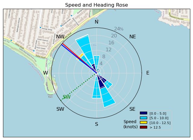
| Conditions | SSW 8-13, chop to 1ft swell |
| TOW | 1.0 hours |
| Toys | 2050sqcm Axis 1020mm Carbon Front Wing |
| 750mm Axis Aluminum Mast | |
| 6.2m Cabrinha Mantis | |
| 115L JP Australia Foil Pro | |
| Details | First in, in the afternoon at RB, I acted as guinea pig for the the OG crew. Had my wonderfully repaired (Leitch&McBride) Cab62 out and after about 10min of slogging I got a puff to get foiling on. It was mostly on 10-13kts, mostly flat, and mostly fun. The light winds reduced my gybe efficiency, but it was time to learn light wind gybing anyways. I mostly flailed on foil, following or leading Idefix in gybe games or trying to stay out of the way of the Fast and the Foilious grop of Greg, Paul, and MtnarG. More tropical fun winging in a shorty suit! [from Sailing Log on Wednesday July 12, 2023] |
Speed (3s average)
| Speed | knots | km/h |
|---|---|---|
| Avg overall | 4.8 | 8.8 |
| Avg in motion | 6.0 | 11.2 |
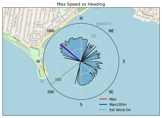
| Max | 10.5 | 19.4 |
| Max 100m | 10.3 | 19.1 |
| Max 250m | 10.0 | 18.5 |
| Max 500m | 8.8 | 16.2 |
| Max 2s | 10.5 | 19.4 |
| Max 10s | 10.4 | 19.3 |
| Max Alpha (500/50m) | 8.4 | 15.6 |
| Avg Foiling | 7.5 | 14.0 |
Times and Duration
| Start | Wed Jul 12, 3:02 PM |
| End | Wed Jul 12, 4:19 PM |
| Duration | 01:16:49 |
| In motion | 01:00:38 |
| Paused (< 3 km/h) | 00:10:17 |
| Foiling | 00:38:57 |
| Not Foiling (< 8 km/h) | 00:31:58 |
| Last Calculated | Thu Jul 13, 12:10 AM |
Track Information
| Distance | 11.3 km |
| # Trackpoints | 826 |
| Avg Trackpoint distance | 13.7 m |
| Number of Turns | 32 |
| Foiling Turns (> 8 km/h) | 22 |
| Foiling Turn Percentage | 69% |


Category: Wingfoiling
2 years ago

Created 2 years ago
Highrocker |
Please register/login to download this track.
This track was downloaded 0 time(s). |
| 44 Rippin the right radii |
| 51 10/1/2025 Ross Bay |
| 56 2025NumeroUno |
| 51 Onwards to the 12th dimension |
| 48 RB omg best day of the year |
Please wait while loading suggestions..
Please wait while loading suggestions..
You must login to post comments.