Dawn patrol leap of faith
ThePope - Wingfoiling |
Thursday March 13, 2025 8:31 AM |
| Spot | Ross Bay |
| Conditions | W 14-20, Mostly flat |
| TOW | 2.0 hours |
| Toys | 99L Armstrong FG Wing SUP |
| 5.5m Duotone Unit SLS | |
| 1080 Armstrong HA | |
| 220 Armstrong Glide | |
| Popemobile | |
| 865 Armstrong Mast | |
| Details | RB dawn patrol. It seemed a bit bleak when I arrived but the wind was so westerly I made a leap of faith that there would be more wind offshore. Once I got to the wind line it was actually pretty good and I was out for the first 45 min by myself. Danno, DrMark and Ang joined and the wind picked up more. Got one Tweeze-by and came off the water just as TunaCan was about to launch. The sun was out, decent wind, a pretty solid session! [from Session Log on Thursday March 13, 2025] |
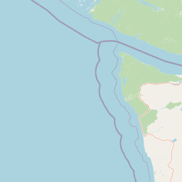
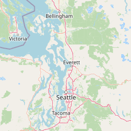


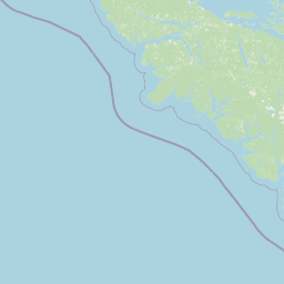


50 km
Leaflet | Map data: © OpenStreetMap
Speed (3s average)
| Speed | knots | km/h |
|---|---|---|
| Avg overall | 7.5 | 13.9 |
| Avg in motion | 10.4 | 19.3 |
| Max | 19.1 | 35.3 |
| Max 100m | 18.3 | 33.9 |
| Max 250m | 17.9 | 33.1 |
| Max 500m | 16.6 | 30.7 |
| Max 2s | 19.0 | 35.2 |
| Max 10s | 18.4 | 34.1 |
| Max Alpha (500/50m) | 12.1 | 22.5 |
| Avg Foiling | 12.3 | 22.7 |
Times and Duration
| Start | Thu Mar 13, 8:31 AM |
| End | Thu Mar 13, 10:56 AM |
| Duration | 02:24:21 |
| In motion | 01:44:16 |
| Paused (< 3 km/h) | 00:39:41 |
| Foiling | 01:21:33 |
| Not Foiling (< 8 km/h) | 01:02:24 |
| Longest Foiling Segment | 00:03:01 (1.1 km) |
| Last Calculated | Thu Mar 13, 1:36 PM |
Track Information
| Distance | 33.5 km |
| # Trackpoints | 5727 |
| Avg Trackpoint distance | 5.8 m |
| Number of Turns | 44 |
| Foiling Turns (> 8 km/h) | 24 |
| Foiling Turn Percentage | 55% |


Category: Wingfoiling
Yesterday

Created Yesterday
ThePope |
Please register/login to download this track.
This track was downloaded 0 time(s). |
| 24 Willows - Looking for wind |
| 41 Rogue Shoulder |
| 29 Pt.Holmes 03/14/25 |
| 52 250313 Ross Bay |
| 45 SlipperySlopes |
Please wait while loading suggestions..
Please wait while loading suggestions..
You must login to post comments.