240507 Ross Bay
Highrocker - Wingfoiling |
Tuesday May 07, 2024 12:33 PM |
| Spot | Ross Bay |
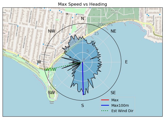
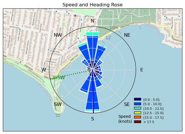
| Conditions | WSW 15-23, 1-3ft swell |
| TOW | 2.0 hours |
| Toys | 900mm Axis Aluminum Mast |
| 2050sqcm Axis 1020mm Carbon Front Wing | |
| 4m Cabrinha X3 Windows | |
| 5m Cabrinha X3 Windows | |
| 88 Cabrinha Code 5ft2 | |
| Details | Three days straight of travel destination quality wind and swell in our backyard! Another 2 session day using my smaller 88L Cab Code. I'm starting to get used to the board's awesomeness. Thanks for the deal, DocMark! For me, the swell was the best and most consistent, despite reduced wind strength compared to yesterday. I might have added an extra 10sec to the length of my flag-outs, the swell was so sweet! Lots of foilers out there with the eventual close-calls, but nil impact. Nice to have a rest day Wednesday.... [from Session Log on Tuesday May 07, 2024] |
Speed (3s average)
| Speed | knots | km/h |
|---|---|---|
| Avg overall | 4.2 | 7.8 |
| Avg in motion | 8.1 | 15.1 |
| Max | 17.0 | 31.5 |
| Max 100m | 16.5 | 30.5 |
| Max 250m | 13.5 | 25.1 |
| Max 500m | 12.2 | 22.6 |
| Max 2s | 17.0 | 31.5 |
| Max 10s | 16.5 | 30.5 |
| Max Alpha (500/50m) | 10.3 | 19.1 |
| Avg Foiling | 8.3 | 15.3 |
Times and Duration
| Start | Tue May 07, 12:33 PM |
| End | Tue May 07, 4:11 PM |
| Duration | 03:37:59 |
| In motion | 01:53:00 |
| Paused (< 3 km/h) | 01:40:13 |
| Foiling | 01:41:32 |
| Not Foiling (< 8 km/h) | 01:51:41 |
| Longest Foiling Segment | 00:14:27 (3.6 km) |
| Last Calculated | Tue May 07, 8:45 PM |
Track Information
| Distance | 28.4 km |
| # Trackpoints | 4789 |
| Avg Trackpoint distance | 5.9 m |
| Number of Turns | 132 |
| Foiling Turns (> 8 km/h) | 67 |
| Foiling Turn Percentage | 51% |


Category: Wingfoiling
9 months ago

Created 9 months ago
Highrocker |
Please register/login to download this track.
This track was downloaded 0 time(s). |
| 26 BWD got me addicted |
| 66 Falck’n Foot Switches |
| 64 250112 Cattle Point |
| 66 Speedy (for me) wave riding |
| 59 CP - TunaCan Flyby |
Please wait while loading suggestions..
Please wait while loading suggestions..
You must login to post comments.