240402 Ross Bay
Highrocker - Wingfoiling |
Tuesday April 02, 2024 1:52 PM |
| Spot | Ross Bay |
| Conditions | SW 12-17, 1-2ft swell |
| TOW | 1.0 hours |
| Toys | 900mm Axis Aluminum Mast |
| 2050sqcm Axis 1020mm Carbon Front Wing | |
| 6m Cabrinha X3 Windows | |
| 115L JP Australia Foil Pro | |
| Details | Another fabulous hour-long session. Ross Bay has been gifting me with prime conditions every time I jump in these days. Well powered even right in the bay. Great to share the swells with Bobson on wing. I kept trying to capture him on GoPro, but my board handling isn't awesome. Danno and DocMark were playing well beyond the point where the bigger swells were forming. I got lots of flagged out practice near the point where the swell was milder. Still very much a work in progress. Great to see Jon get back from Trial Island.... [from Session Log on Tuesday April 02, 2024] |
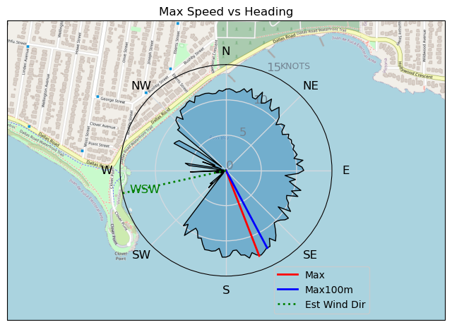
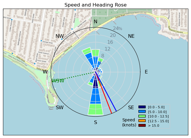
Speed (3s average)
| Speed | knots | km/h |
|---|---|---|
| Avg overall | 5.9 | 10.9 |
| Avg in motion | 8.8 | 16.3 |
| Max | 13.0 | 24.1 |
| Max 100m | 12.5 | 23.1 |
| Max 250m | 11.6 | 21.5 |
| Max 500m | 11.2 | 20.8 |
| Max 2s | 12.9 | 24.0 |
| Max 10s | 12.6 | 23.3 |
| Max Alpha (500/50m) | 10.2 | 18.8 |
| Avg Foiling | 9.3 | 17.2 |
Times and Duration
| Start | Tue Apr 02, 1:52 PM |
| End | Tue Apr 02, 3:15 PM |
| Duration | 01:22:08 |
| In motion | 00:54:57 |
| Paused (< 3 km/h) | 00:18:10 |
| Foiling | 00:49:31 |
| Not Foiling (< 8 km/h) | 00:23:36 |
| Longest Foiling Segment | 00:20:25 (5.8 km) |
| Last Calculated | Tue Apr 02, 10:03 PM |
Track Information
| Distance | 14.9 km |
| # Trackpoints | 2359 |
| Avg Trackpoint distance | 6.3 m |
| Number of Turns | 54 |
| Foiling Turns (> 8 km/h) | 40 |
| Foiling Turn Percentage | 74% |


Category: Wingfoiling
10 months ago

Created 10 months ago
Highrocker |
Please register/login to download this track.
This track was downloaded 0 time(s). |
| 12 BWD got me addicted |
| 64 Falck’n Foot Switches |
| 64 250112 Cattle Point |
| 64 Speedy (for me) wave riding |
| 59 CP - TunaCan Flyby |
Please wait while loading suggestions..
Please wait while loading suggestions..
You must login to post comments.